
Video: NASA's vantage point to view Earth
April 24, 2017
29,481
31
1
0.11%
Search the Record
IndexedEvery word spoken in this episode is indexed. Type any phrase to jump straight to the moment it was said.
Type any word or phrase that may have been spoken. Click a result to seek the player to that exact moment.
Try a name, a topic, or a quoted line
Archived Nasa Climate Change Episodes Around April 24, 2017
See what was published immediately before and after this episode.

 1:30Now Playing
Video: NASA's vantage point to view Earth


YouTube Description
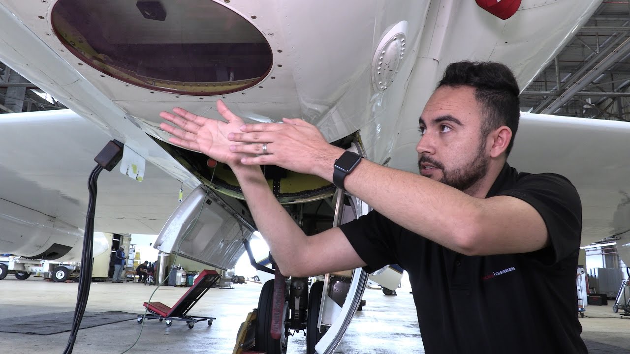
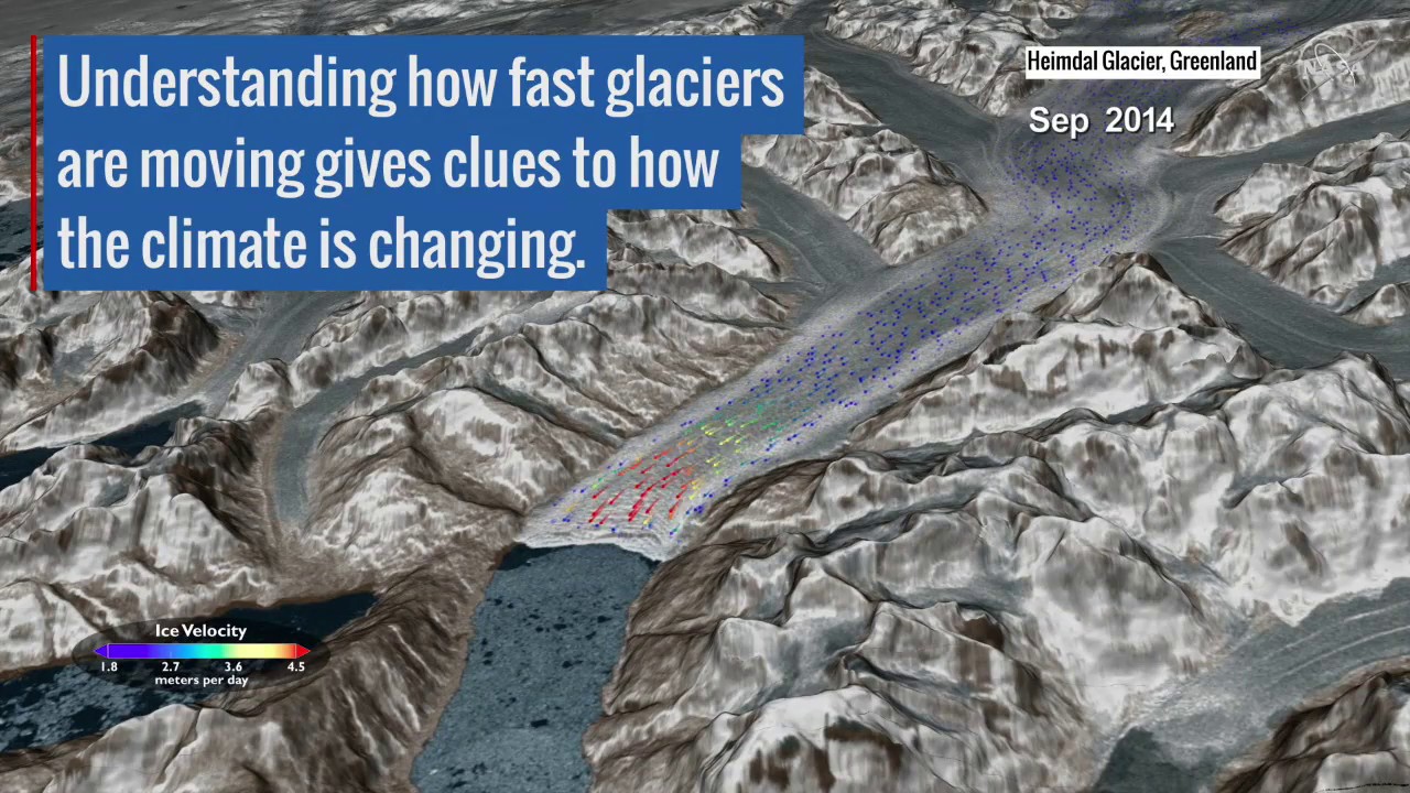
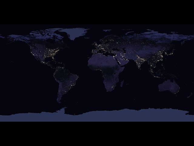
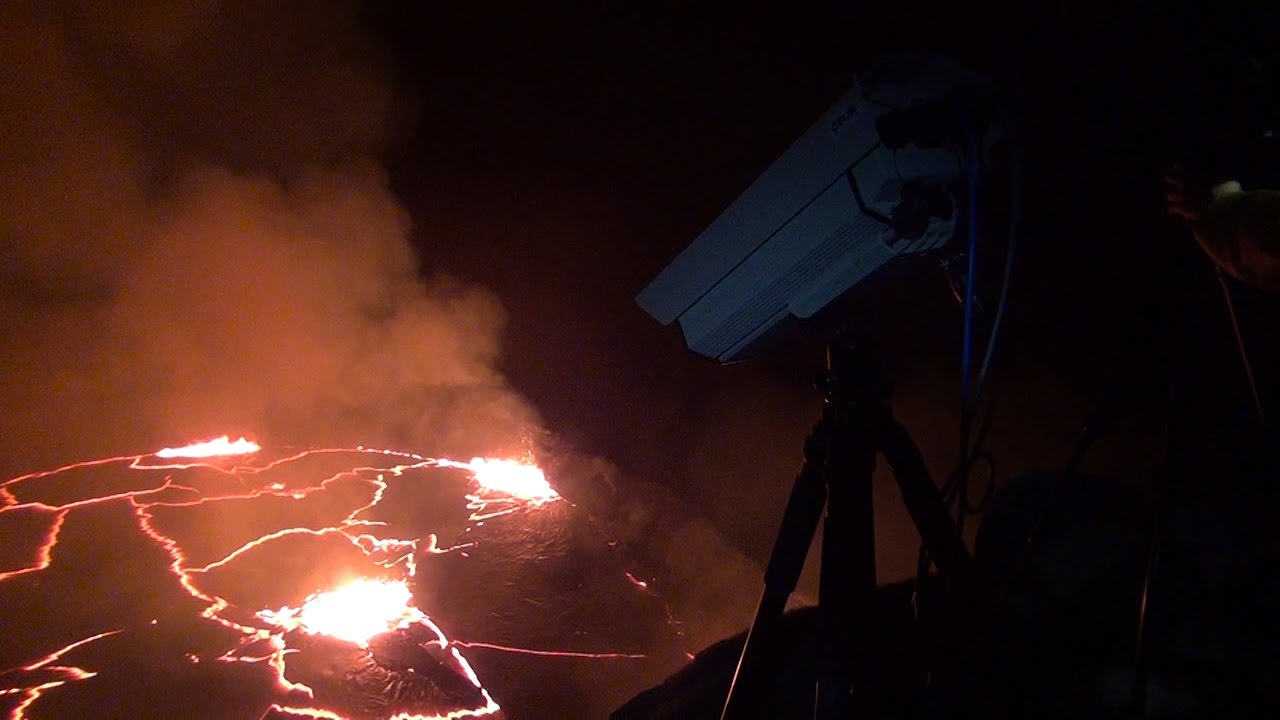
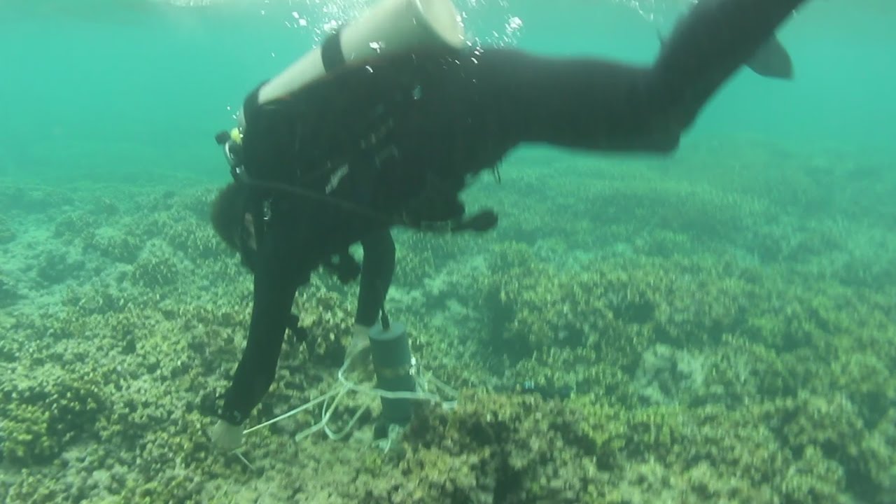
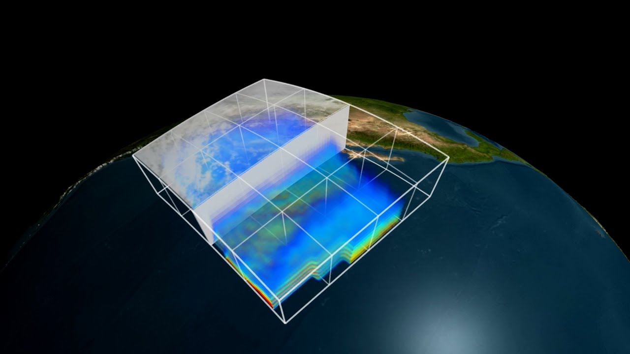
as posted by the channelNo planet is better studied than the one we actually live on. NASA's fleet of 18 Earth science missions in space, supported by aircraft, ships and ground observations, measure aspects of the environment that touch the lives of every person around the world. They study everything from the air we breathe, to rain and snow that provide water for agriculture and communities, to natural disasters such as droughts and floods, to the oceans, which cover 70 percent of Earth’s surface and provide food for many people around the world. Satellites and instruments on the International Space Station circle the whole globe, seeing both where people live and those remote parts of deserts, mountains and the vast oceans that are difficult if not impossible to visit. With instruments in space, scientists can get data for the whole globe in detail that they can't get anywhere else. This visualization shows the NASA fleet in 2017, from low Earth orbit all the way out to the DSCOVR satellite taking in the million-mile view.
Music: The Glide, by Zubin Thakkar [SOCAN]
Download the video
Links & Promotions
Guests & Subjects Covered
Sentinel Indexing in Progress
Metadata and chapters are available. Claim extraction for this episode is pending.
All video content is delivered via YouTube embedded players in accordance with the YouTube Terms of Service. Sentinel provides research tools that promote discovery and accountability across political media.