
Ocean Flows Under Pine Island Glacier, Antarctica
February 23, 2021
7,224
33
4
0.51%
Search the Record
IndexedEvery word spoken in this episode is indexed. Type any phrase to jump straight to the moment it was said.
Type any word or phrase that may have been spoken. Click a result to seek the player to that exact moment.
Try a name, a topic, or a quoted line
Archived Nasa Climate Change Episodes Around February 23, 2021
See what was published immediately before and after this episode.


 0:31Now Playing
Ocean Flows Under Pine Island Glacier, Antarctica


YouTube Description
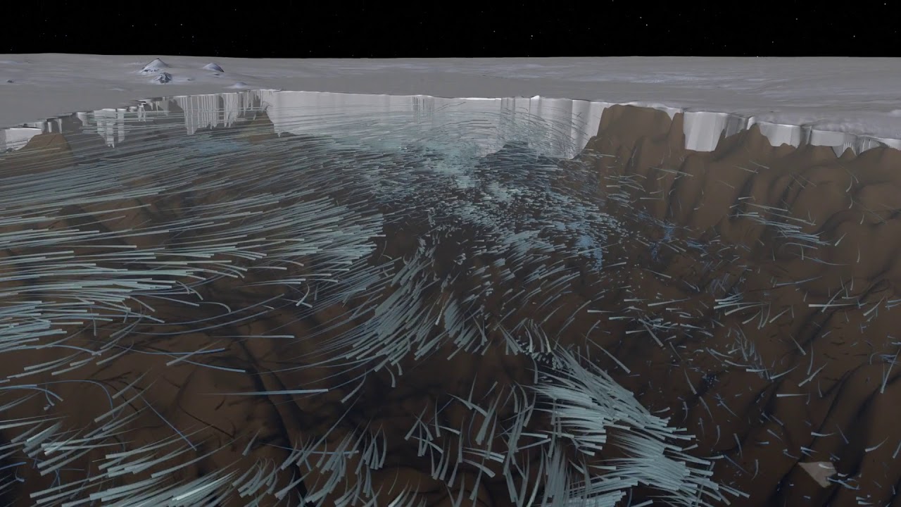
as posted by the channelGlaciers surrounding the Amundsen Sea in Antarctica have been rapidly melting. As glaciers flow out from land to the ocean, large expanses of ice behind their leading edges float on the seawater. The point on a glacier where it first loses contact with land is called the grounding line. Nearly all glacier melt occurs on the underside of the glacier beyond the grounding line, on the section floating on seawater as the warmer ocean currents erode the base of the floating ice.
This visualization shows ocean currents circulating Pine Island Bay and flowing under Pine Island Glacier. The visualization approaches the glacier, dives beneath the water, and views the ocean flows circulating beneath the floating ice. For more clarity, the surface of the ice sheet is exaggerated by 4x while the topography below sea level is exaggerated by 15x.
Download the video here
Links & Promotions
Guests & Subjects Covered
Sentinel Indexing in Progress
Metadata and chapters are available. Claim extraction for this episode is pending.
All video content is delivered via YouTube embedded players in accordance with the YouTube Terms of Service. Sentinel provides research tools that promote discovery and accountability across political media.