Atlanta News First
@atlantanewsfirst·462K subscribers·72.9K videos
First Alert Forecast: Scattered showers continue overnight then impact Monday morning commute.
Posted
March 10, 2025
Views
821
Likes
19
Comments
2
Engagement
March 10, 2025
821
19
2
2.56%
Every word spoken in this episode is indexed. Type any phrase to jump straight to the moment it was said.
Type any word or phrase that may have been spoken. Click a result to seek the player to that exact moment.
Try a name, a topic, or a quoted line
See what was published immediately before and after this episode.
 1:49
1:49 9:19Now Playing
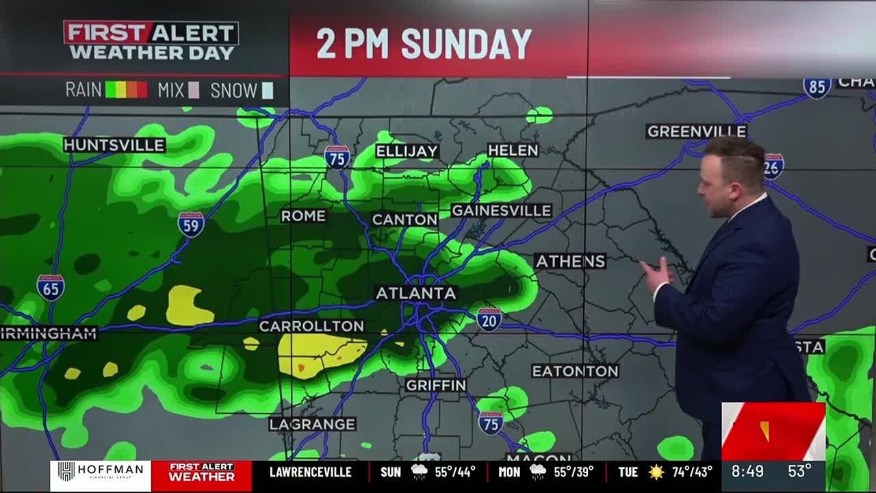
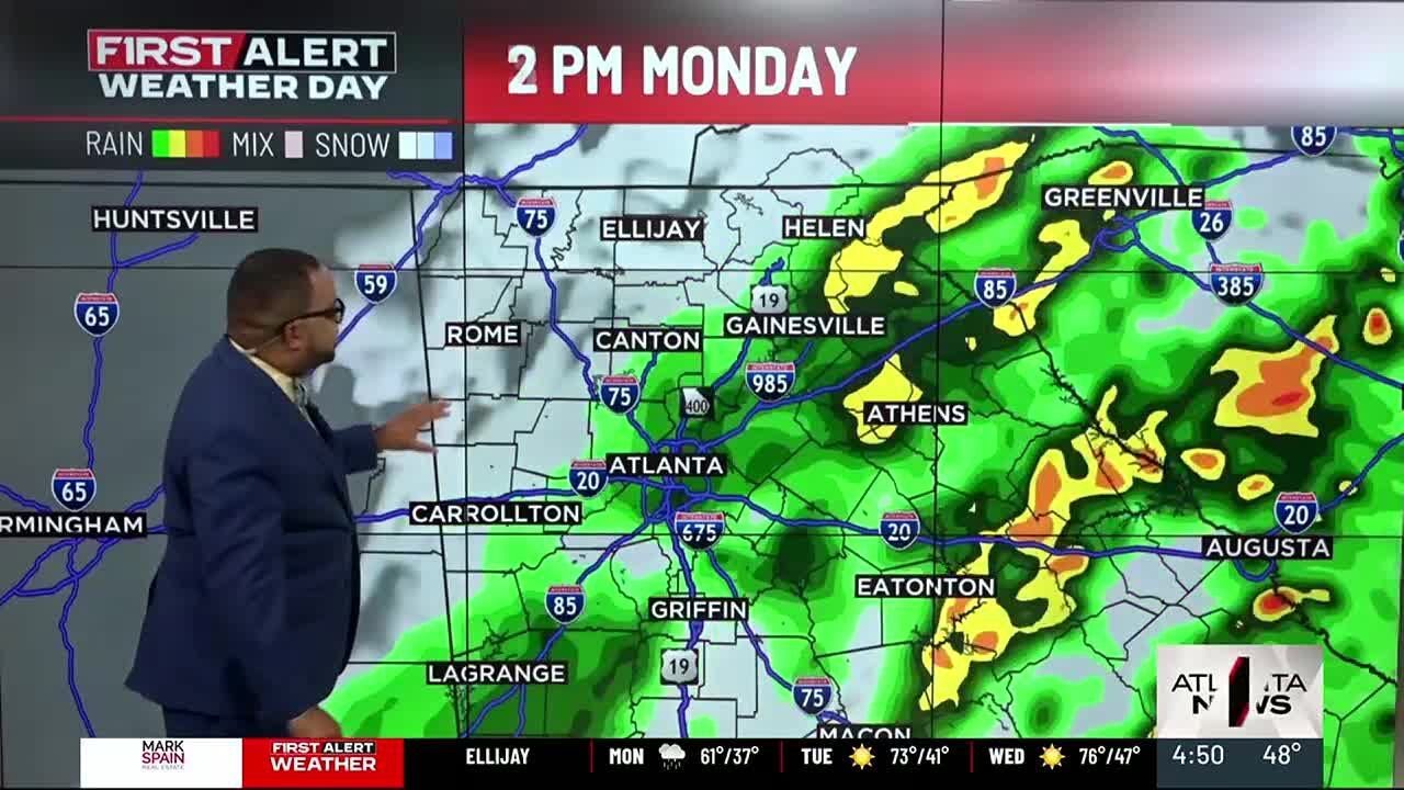
Overnight showers will continue as temperatures will slowly dip into the middle 40s to start off your Monday morning. Unfortunately, the rain will continue throughout the morning commute and become more widespread, so give yourself extra time to get into the office Monday morning.
The First Alert Forecast improves Monday afternoon. The showers will finally exit the area and the clouds move out soon thereafter. The clear skies will allow a cool start Tuesday with morning lows back into the 30s and 40s. Thankfully we warm up quickly by the afternoon with highs on Tuesday in the middle 70s and up near 80° for Wednesday!
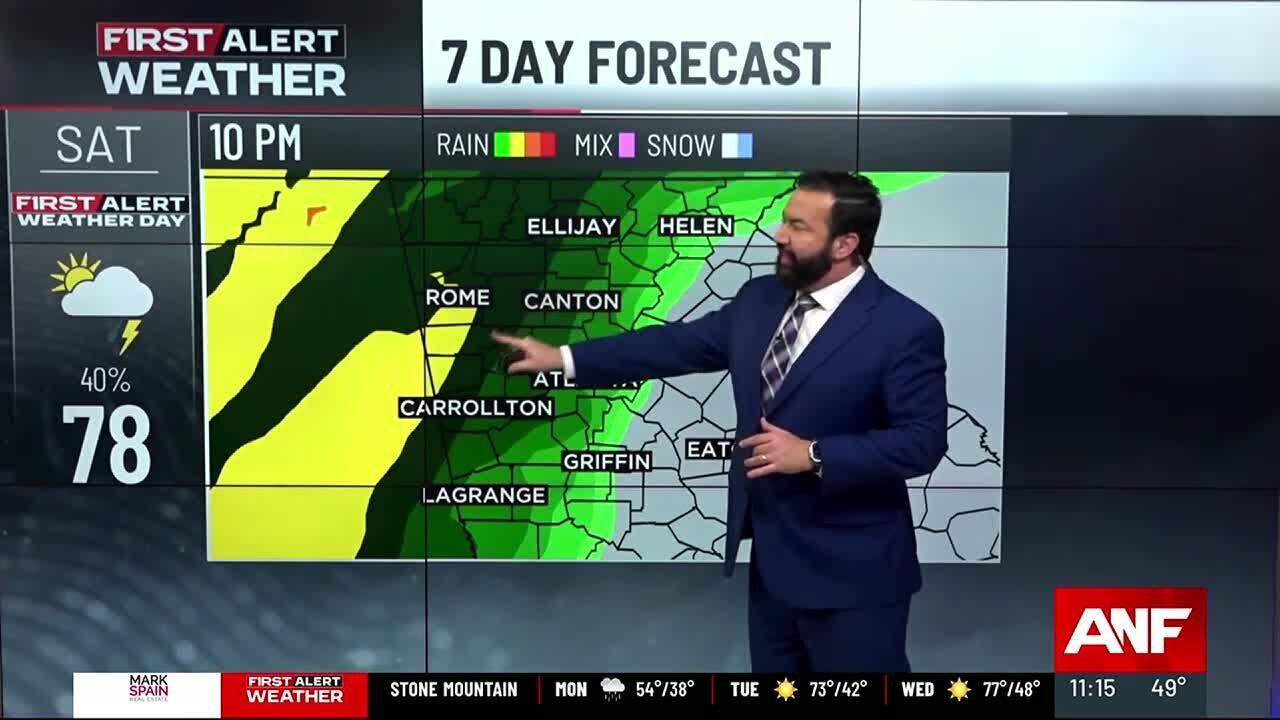
While we may see a scattered shower or two on Thursday, the next round of heavy rain and storms sweeps through next weekend. The timing looks to be late Saturday into early Sunday and there is the chance for severe storms to accompany the system as it roars through.
The timing is still up in the air and could change as we get closer to next weekend so be sure to check back regularly on the First Alert Weather App and online for updates to the forecast.
Sentinel Indexing in Progress
Metadata and chapters are available. Claim extraction for this episode is pending.
All video content is delivered via YouTube embedded players in accordance with the YouTube Terms of Service. Sentinel provides research tools that promote discovery and accountability across political media.