New York Post
@nypost·2.4M subscribers·43.2K videos
New Satellite Images Show Trail of Destruction After Deadly UPS Plane Crash #shorts
Posted
November 7, 2025
Views
6,973
Likes
54
Comments
8
Engagement
November 7, 2025
6,973
54
8
0.89%
Every word spoken in this episode is indexed. Type any phrase to jump straight to the moment it was said.
Type any word or phrase that may have been spoken. Click a result to seek the player to that exact moment.
Try a name, a topic, or a quoted line
 0:22Now Playing
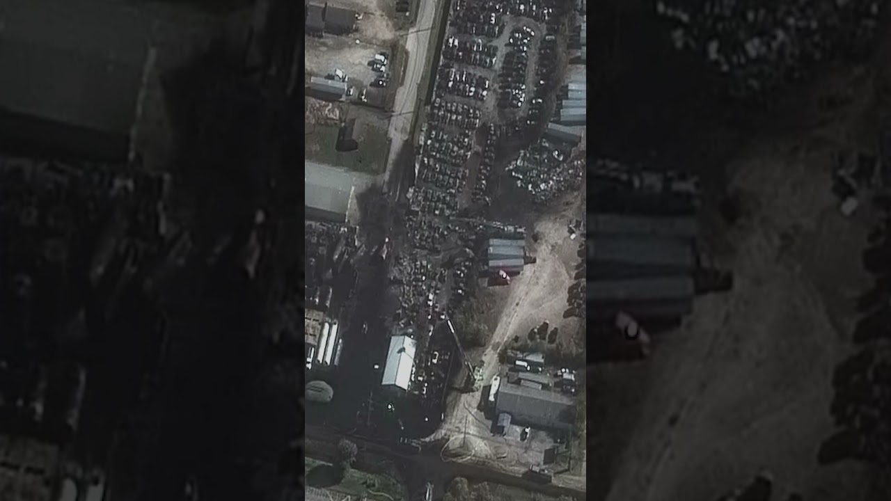
Shocking satellite images reveal the path of destruction left by the UPS cargo plane that crashed and bust into flames in Kentucky on Wednesday, leaving at least 12 people dead, including a child. The before-and-after photos from Vantor, a satellite and data intelligence company, show a long black trail of scorched debris and torched vehicles at an industrial area just south of Muhammad Ali International Airport in Louisville. The images also showed a massive 300-foot gash on the top of a UPS warehouse that was struck by the plane as it came down shortly after takeoff from the company’s aviation hub.
The New York Post is your source for breaking news, news about New York, sports, business, entertainment, opinion, real estate, culture, fashion, and more.
#ups #planecrash #louisville
Check out our two new podcasts:
Pod Force One with MIranda Devine (weekly)
NY POSTcast (daily)
Get The Post’s latest headlines everyday with our Morning Report newsletter:
Catch the latest news at
Follow The New York Post on:
Sentinel Indexing in Progress
Metadata and chapters are available. Claim extraction for this episode is pending.
All video content is delivered via YouTube embedded players in accordance with the YouTube Terms of Service. Sentinel provides research tools that promote discovery and accountability across political media.