Un Climate Change
@unclimatechange·90.8K subscribers·1.3K videos
Mapping Exposure to Sea Level Rise
Posted
June 28, 2016
Views
354
Likes
2
Engagement
0.56%
June 28, 2016
354
2
0.56%
Every word spoken in this episode is indexed. Type any phrase to jump straight to the moment it was said.
Type any word or phrase that may have been spoken. Click a result to seek the player to that exact moment.
Try a name, a topic, or a quoted line
 2:18Now Playing
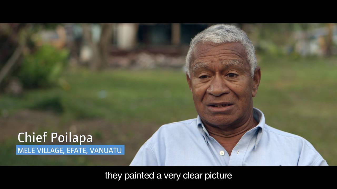
The Pacific region includes some of the world’s lowest-lying countries. However, most climate adaptation activities in the Pacific are not informed by the fundamental data required to identify the magnitude of, and communities at risk from, coastal flooding.
Innovative ICT solutions are helping Pacific Island countries prepare for and adapt to sea level rise brought about by climate change. The Mapping Exposure to Sea Level Rise project provides the fundamental data, skills and tools at-risk communities need to make planning decisions. It trains government decision makers to use online tools and flood maps to understand and mitigate the risks of sea level rise. Using these maps, governments can better understand and communicate climate change risk to local communities and put adaptation plans in place.
Follow us on Twitter
Join us on Facebook
Sentinel Indexing in Progress
Metadata and chapters are available. Claim extraction for this episode is pending.
All video content is delivered via YouTube embedded players in accordance with the YouTube Terms of Service. Sentinel provides research tools that promote discovery and accountability across political media.