
At glacial speed
April 6, 2017
8,336
24
0.29%
Search the Record
IndexedEvery word spoken in this episode is indexed. Type any phrase to jump straight to the moment it was said.
Type any word or phrase that may have been spoken. Click a result to seek the player to that exact moment.
Try a name, a topic, or a quoted line
Archived Nasa Climate Change Episodes Around April 6, 2017
See what was published immediately before and after this episode.


 0:52Now Playing
At glacial speed


YouTube Description
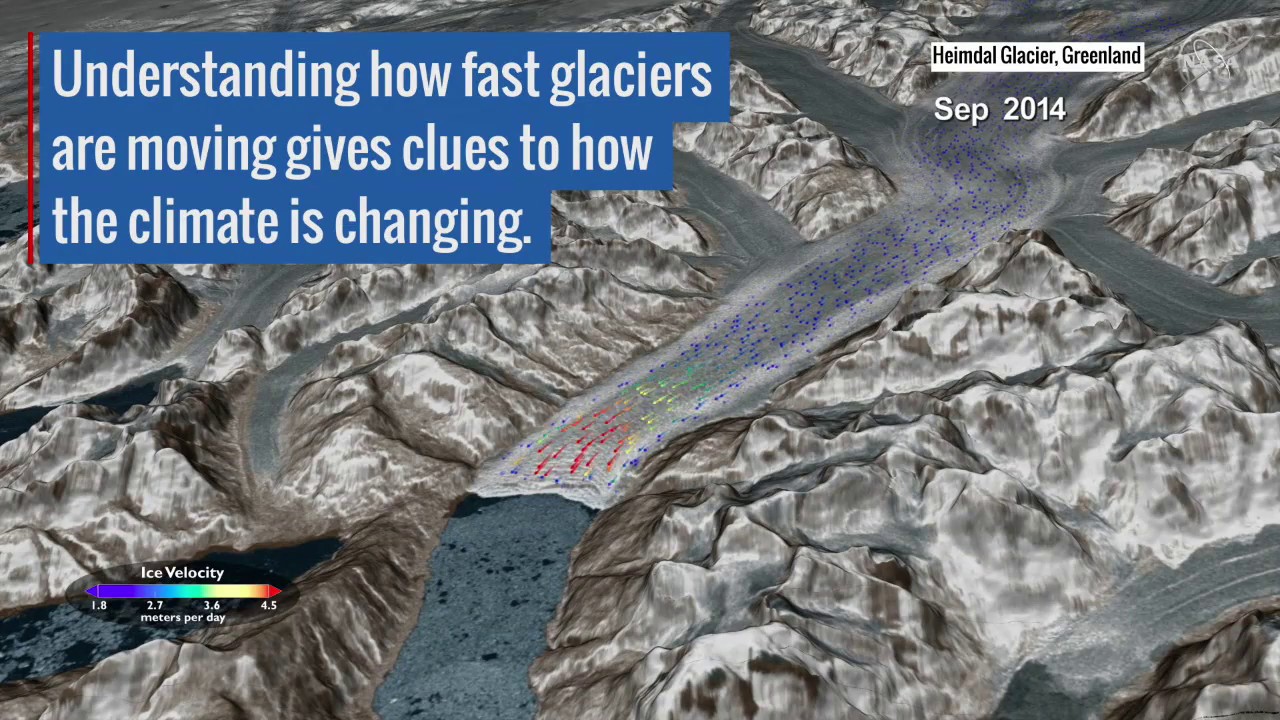
as posted by the channelGlaciers and ice sheets move in unique and sometimes surprising patterns, as evidenced by a new capability that uses satellite images to map the speed of flowing ice in Greenland, Antarctica and mountain ranges around the world. With imagery and data from Landsat 8, a joint mission of NASA and the U.S. Geological Survey, scientists are providing a near-real-time view of every large glacier and ice sheet on Earth. Researchers aim to better understand how ice flow is changing worldwide by integrating information about atmosphere and ocean conditions to determine what causes these ice sheets to change — and what that means for how much ice is flowing into the ocean. That could help provide critical information to coastal communities that will be most impacted by sea level rise. The Heimdal glacier in Southeast Greenland shown here can travel more than 33 feet (10 meters) per day in early summer and less than 20 feet (6 meters) per day by October. Watch the video to learn more.
Download the video
Links & Promotions
Guests & Subjects Covered
Sentinel Indexing in Progress
Metadata and chapters are available. Claim extraction for this episode is pending.
All video content is delivered via YouTube embedded players in accordance with the YouTube Terms of Service. Sentinel provides research tools that promote discovery and accountability across political media.