Archived Nasa Climate Change
@nasaclimatechange·31.2K subscribers·311 videos
Greenland Land Ice Height Change as Measured by ICESat and ICESat-2
Posted
May 27, 2020
Views
3,069
Likes
29
Comments
3
Engagement
May 27, 2020
3,069
29
3
1.04%
Every word spoken in this episode is indexed. Type any phrase to jump straight to the moment it was said.
Type any word or phrase that may have been spoken. Click a result to seek the player to that exact moment.
Try a name, a topic, or a quoted line
 1:12Now Playing
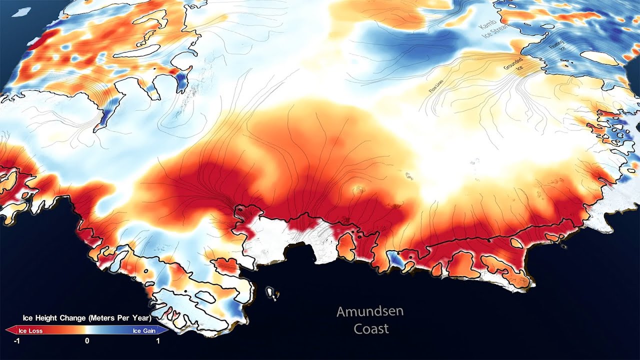
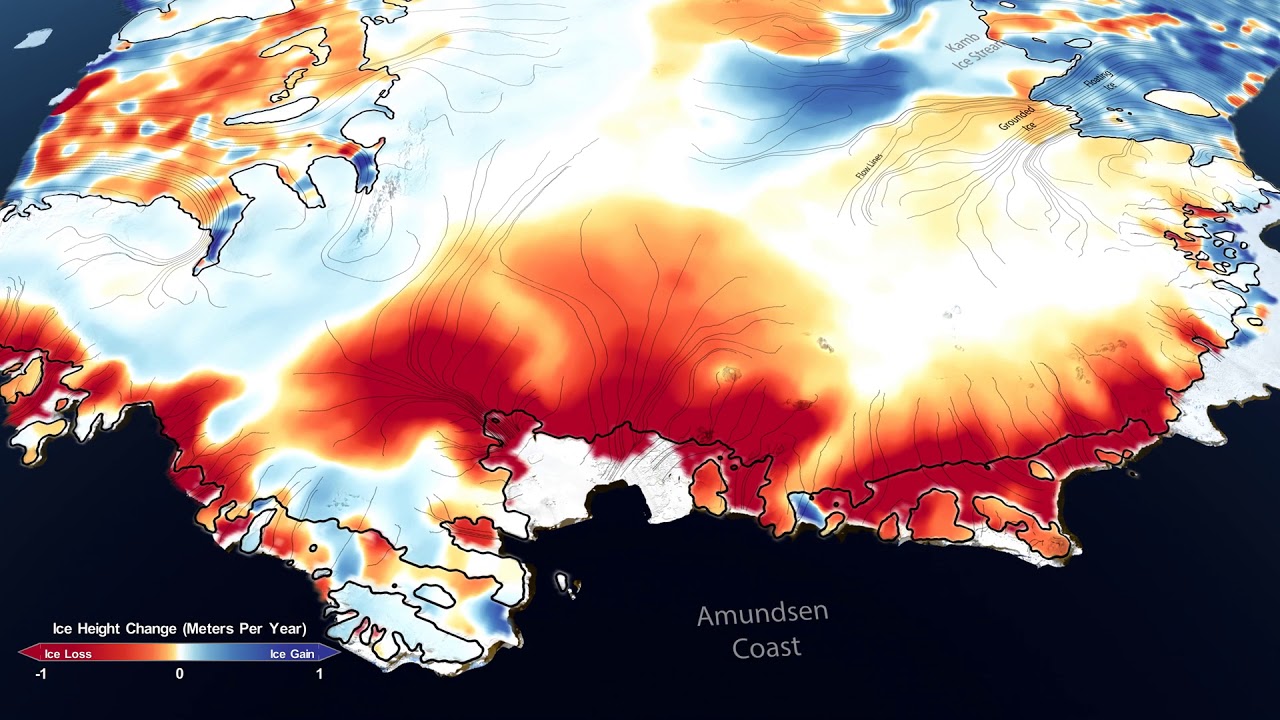
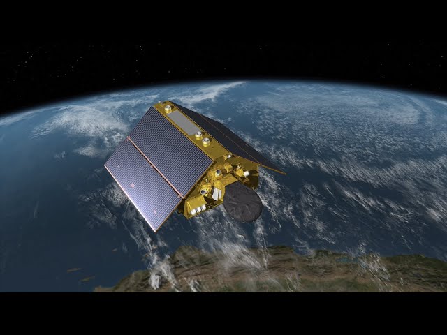
This visualization depicts changes in Antarctic land ice thickness as measured by the ICESat (2003-2009) and ICESat-2 (2018-) satellites. The camera zooms into a region near the Kamb ice stream to compare ICESat and ICESat-2 beam tracks. The beam intersections are highlighted to explain how the data at these points are used to measure how land ice has changed over time. After exploring a few regions in detail, the camera moves out to a global view and an ocean temperature dataset is revealed.
Download the video
Sentinel Indexing in Progress
Metadata and chapters are available. Claim extraction for this episode is pending.
All video content is delivered via YouTube embedded players in accordance with the YouTube Terms of Service. Sentinel provides research tools that promote discovery and accountability across political media.