
New U.S.-European Satellite Tracking Sea Level Rise
October 2, 2020
34,248
579
51
1.84%
Search the Record
IndexedEvery word spoken in this episode is indexed. Type any phrase to jump straight to the moment it was said.
Type any word or phrase that may have been spoken. Click a result to seek the player to that exact moment.
Try a name, a topic, or a quoted line
Archived Nasa Climate Change Episodes Around October 2, 2020
See what was published immediately before and after this episode.



 2:15Now Playing
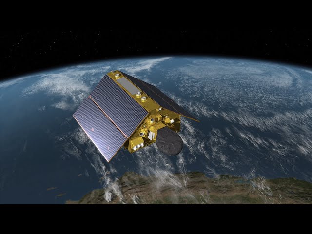
New U.S.-European Satellite Tracking Sea Level Rise


YouTube Description
as posted by the channelThe joint U.S.-European Sentinel-6 Michael Freilich is the next in a line of Earth-observing satellites that will collect the most accurate data yet on sea level and how it changes over time. With millimeter-scale precision, data from this mission will allow scientists to precisely measure sea surface height and gauge how quickly our oceans are rising.
The Sentinel-6 Michael Freilich satellite is part of the Sentinel-6/Jason-CS mission, a collaboration among NASA, ESA, EUMETSAT, and NOAA. Sentinel-6 Michael Freilich will launch from Vandenberg Air Force Base in California no earlier than Nov. 10, 2020.
For more information on the Sentinel6/JasonCS mission, go to
Credit: NASA-JPL/Caltech/NOAA
Links & Promotions
Guests & Subjects Covered
Sentinel Indexing in Progress
Metadata and chapters are available. Claim extraction for this episode is pending.
All video content is delivered via YouTube embedded players in accordance with the YouTube Terms of Service. Sentinel provides research tools that promote discovery and accountability across political media.